
Table of Contents
ToggleDid you know nearly 75 percent of Japan is rugged mountains? While cities draw crowds, the real Japan lies in its vast wilderness. Hiking these peaks reveals a land of volcanic power and ancient forests.
Japan offers some of the world’s most rewarding outdoor adventures. From jungles to snow-capped peaks, the landscapes are breathtaking. Whether you’re a casual walker or an experienced mountaineer, there’s a trail for you.
Planning your hike is easy. Japan’s trails have well-maintained huts and clear signs. By choosing the right path, you can enjoy Japan’s beauty while hiking. Let’s get ready for your next adventure.
Key Takeaways
- Japan features a diverse landscape with 75 percent of its land being mountainous.
- The country offers accessible routes for all skill levels, from beginners to experts.
- Well-maintained mountain huts provide essential support for long-distance trekkers.
- Volcanic terrain and lush forests create unique, world-class scenery.
- Proper planning ensures a safe and rewarding experience in the wilderness.
Best Hikes in Japan at a Glance
Trails for every level, from a Tokyo day hike to alpine hut-to-hut — the full guide follows below.
| Hike | Where | Difficulty | Why it makes the list |
|---|---|---|---|
| Mt Takao | Near Tokyo | Easy | 1 hour from Shinjuku; cable car, temple, Fuji views — the perfect starter hike |
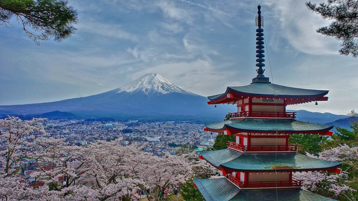
| Mt Fuji | Yamanashi/Shizuoka | Hard | Japan’s summit — but only July–early September, when the trails and huts open |
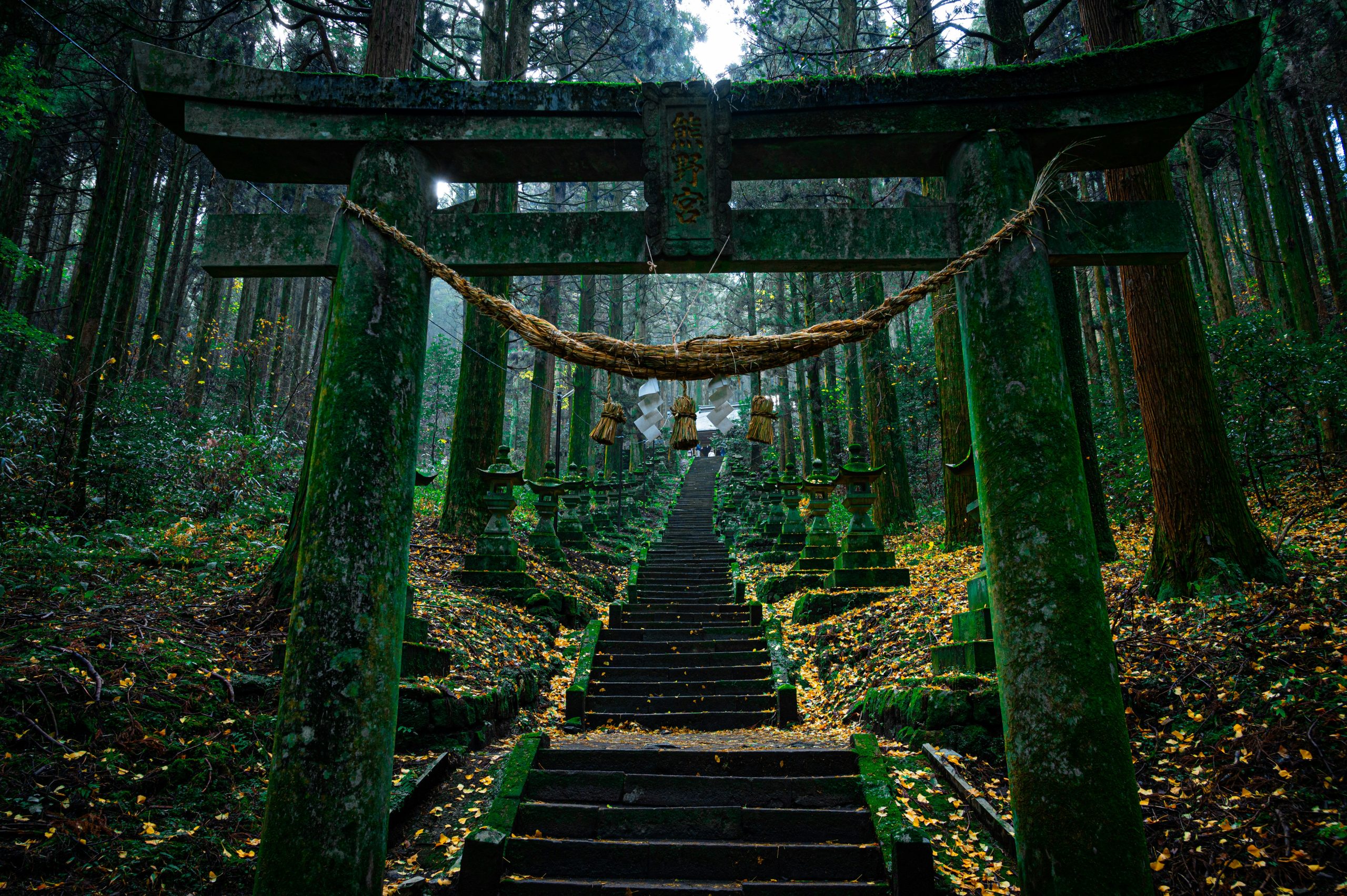
| Kumano Kodo | Kii Peninsula | Moderate | 1,000-year-old pilgrimage trails through cedar forest — sister route to the Camino |
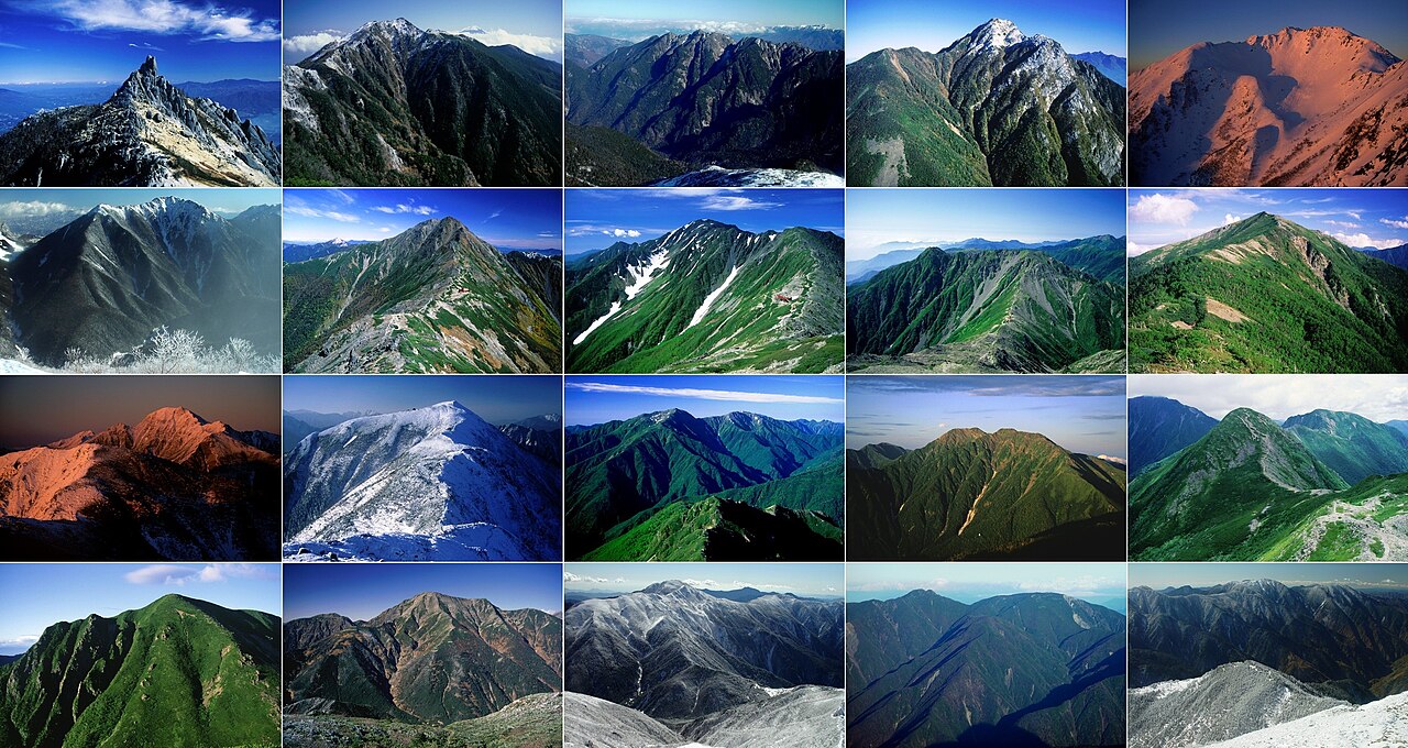
| Kamikôchi & the N. Alps | Nagano | Hard | Japan’s high alpine — Yari, the Daikiretto ridge; hut-to-hut, July–Sep only |
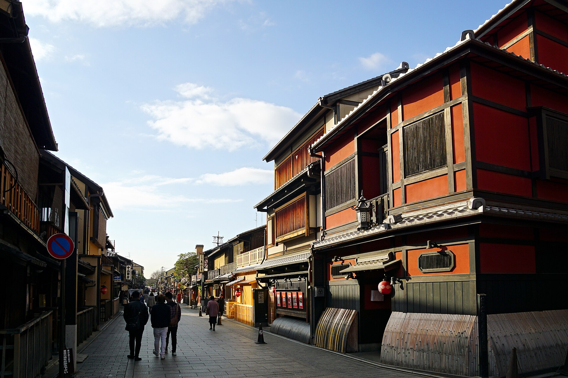
| Nakasendo (Magome–Tsumago) | Gifu/Nagano | Easy | A gentle walk between preserved Edo post towns — history over altitude |
| Yakushima | Kyushu (island) | Moderate–Hard | Ancient cedar forest that inspired Princess Mononoke; the Jomon Sugi trek |
| Daisetsuzan | Hokkaido | Moderate–Hard | Vast volcanic wilderness — Japan’s first autumn colours and true multi-day treks |
✈️ TripToGo Travel Deals
Get notified about great travel deals
Hand-picked flight, hotel and destination deals, straight to your inbox. No spam, unsubscribe anytime.
🎉 Thank you for subscribing!
You’re all set — the best travel deals are on their way.
Three Worlds of Hiking and the Fuji Season: Key Facts
Japan’s hiking splits into three worlds: gentle culture walks (Mt Takao, the Nakasendo, Kumano Kodo), serious alpine (the Northern Alps, Daisetsuzan) and the one-off climb of Mt Fuji. Match the trail to your fitness — the country rewards beginners and expedition hikers alike.
Season is strict at altitude. Mt Fuji is only climbable July–early September (official season, huts and buses running), and the high Northern Alps huts run roughly July–September too. Elsewhere, late spring green and autumn koyo (October–November in the mountains) are the prime windows — more in our best time to visit Japan guide.
Prepare properly for the big ones: reserve mountain huts in advance, carry cash (huts and trailheads are cash-only), check volcano and weather status, and note that Fuji now charges a trail fee and caps numbers. Official resource: JNTO hiking guide.
Essential Preparation for the Best Hikes in Japan
Mastering the logistics of your trip is key to enjoying Japan’s best hikes without stress. The scenery is breathtaking, but the terrain demands preparation. Organizing your gear and route ensures a safe and memorable mountain experience.
Understanding Japan's Trail Grading System
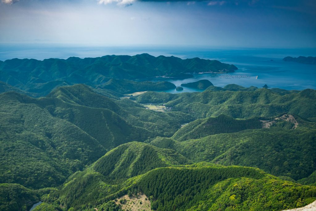
Japanese trails have a grading system to help hikers assess difficulty. These grades consider physical exertion, technical terrain, and trek duration. Before you go, match your fitness level to the right trail.
Local guidebooks and official websites clearly list these grades. For beginners, start with lower-rated trails to get used to the local environment. This builds confidence as you explore Japan’s diverse geography.
Navigating Public Transportation to Trailheads
Japan’s public transit network makes reaching remote trailheads easy. Trains and buses are punctual, aiding in planning your hikes. Always check the latest schedules online, as rural bus routes may be less frequent on weekdays.
Using a regional rail pass can save time and money. Local buses or taxis usually cover the final leg to the mountain base. Carry a printed or digital map, as mobile signal can be weak in valleys.
Packing Essentials for Variable Mountain Weather
Mountain weather in Japan can change quickly, even in warmer months. Layering is the best way to stay comfortable at any altitude or in rain. A waterproof shell and moisture-wicking base layers are must-haves for serious trekkers.
Sturdy, broken-in hiking boots are vital for Japan’s rocky terrain. Don’t forget a portable power bank and headlamp, as daylight can be shorter in forests. Being prepared lets you enjoy the trail’s beauty without worrying about the weather.
Planning this trip?
Our partner Voyada’s AI trip planner builds a day-by-day plan with flights, hotels and a real total cost for your dates — in about a minute, free.
Plan my trip for me →Mount Fuji: The Iconic Ascent
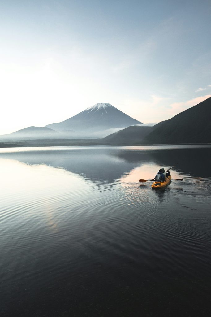
For those seeking the pinnacle of hiking experiences in Japan, Mount Fuji stands unrivaled. This iconic volcano transcends its status as a mere peak, embodying Japan’s cultural essence. It attracts hikers from every corner of the world.
Choosing the Right Trailhead
Choosing your starting point is the initial step on your Mount Fuji journey. The Yoshida Trail is favored by novices, thanks to its numerous mountain huts and clear signage.
For a more serene trek, the Subashiri or Gotemba trails are worth considering. The Fujinomiya Trail, though steep, offers the shortest ascent to the summit, ideal for those well-prepared.
Permits and Hut Reservations
Planning your climb is essential, with a focus on your overnight accommodations. Hut reservations must be secured months in advance, as they quickly fill during peak seasons.
New regulations mandate an entry fee and specific registration procedures. Always verify your permits through the official government portal before reaching the base.
Optimal Timing for Summit Success
The climbing season spans from early July to early September. This period ensures the safest conditions, with minimal snow and more stable weather.
Summit attempts outside this timeframe are perilous and discouraged for casual hikers. By timing your climb within this window, you enhance your chances of witnessing a stunning sunrise from Mount Fuji’s summit.
The Kumano Kodo Pilgrimage Routes
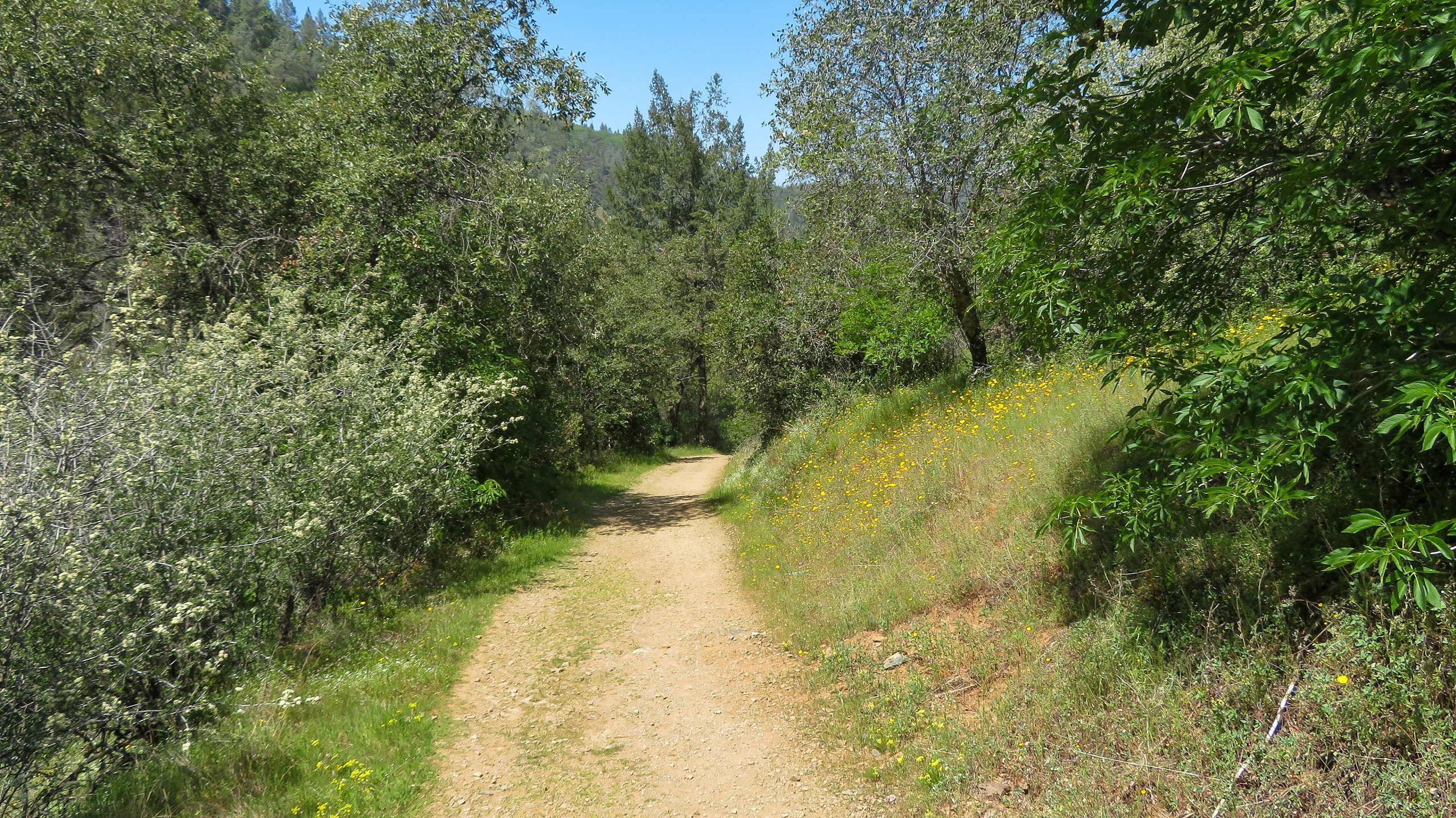
The Kumano Kodo is a top hiking trail in Japan, winding through the Kii Peninsula. It connects sacred shrines that have welcomed travelers for over a thousand years. Walking these routes offers a deep connection with Japan’s spiritual heart.
Selecting Your Pilgrimage Path
The Nakahechi route is the most popular for a classic pilgrimage. It takes about four to five days to complete, ideal for those with limited time. For a more challenging hike, the Kohechi route offers steep climbs and remote mountain views.
Each path is well-marked, catering to various fitness levels. Always check trail conditions before starting. Proper planning of daily mileage is essential to enjoy these trails.
Budgeting for Traditional Guesthouses
Staying in a traditional minshuku is a highlight of the Kumano Kodo. Budget around $80 to $120 per night for a meal and lodging. These family-run guesthouses offer a warm, authentic experience unlike hotels.
Book accommodations several months in advance, more so during spring and autumn. Many guesthouses offer luggage forwarding services. Keep cash handy, as some mountain villages may not accept credit cards.
Cultural Etiquette on Sacred Trails
Respect is key on these pilgrimage trails. Upon arriving at a shrine, bow and keep your voice low. Stay on marked paths to protect the forest and stone paving.
Remember, you’re walking through living spiritual sites, not just a park. Dispose of all trash and avoid disturbing plants or wildlife. By adhering to these guidelines, you help preserve these trails for future generations.
Kamikochi and the Northern Japan Alps
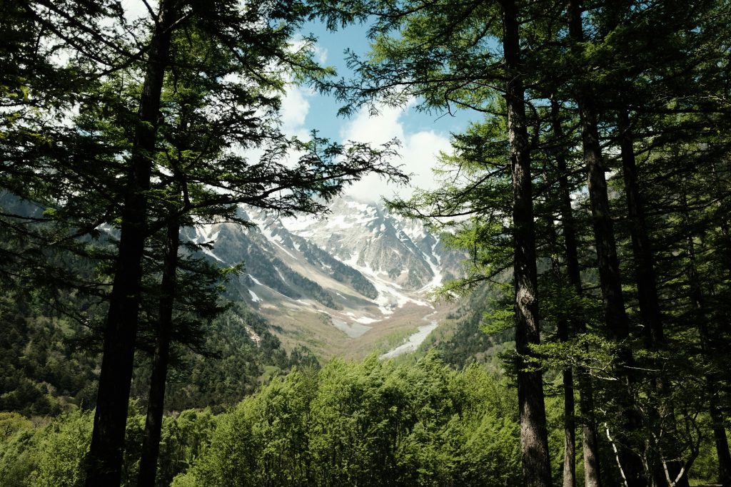
Kamikochi is the ultimate gateway to the rugged beauty of the Northern Japan Alps. It offers breathtaking scenery, rivaling the world’s most famous mountain ranges. Whether you’re a casual walker or a seasoned mountaineer, this area promises an unforgettable experience.
Day Hikes from the Valley Floor
The valley floor is ideal for those who prefer gentle strolls with stunning views. Walking along the crystal-clear Azusa River toward the iconic Kappa Bridge is a must. These paths are well-maintained, providing breathtaking vistas without requiring intense physical exertion.
Multi-Day Alpine Traverse Logistics
For those seeking to conquer higher summits, the region offers a vast network of mountain huts. Booking these accommodations well in advance is essential, as they fill up quickly during peak seasons. Carrying a lightweight pack is vital, as you’ll navigate steep, rocky terrain between high-altitude shelters.
Best Months for Snow-Free Trails
Timing your visit is key to ensure clear, snow-free paths. The best time for trekking in the Northern Japan Alps is from mid-July through September. During these months, the weather is generally stable, making it the perfect time to enjoy Japan’s top hiking trails. Always check local weather reports before heading out, as mountain conditions can change rapidly even in mid-summer.
Daisetsuzan National Park: Hokkaido Wilderness
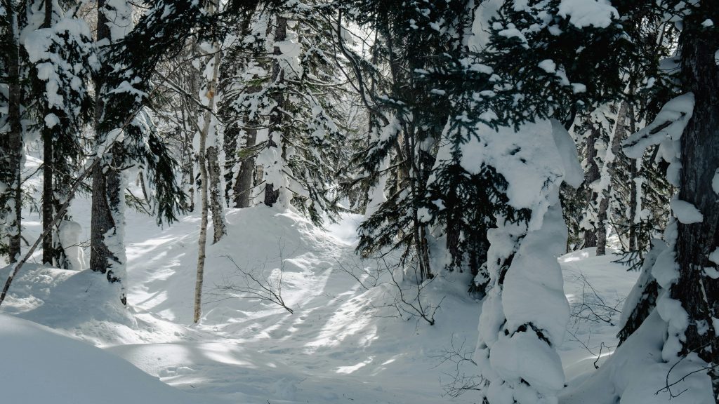
Daisetsuzan National Park in Hokkaido is the ultimate destination for those seeking true wilderness. It offers a vast, untouched landscape, far from the bustling city life of the south. This makes it one of the most rewarding places for scenic walks in Japan.
Exploring the Volcanic Plateaus
The park’s massive volcanic plateaus stretch across the horizon. Walking through alpine meadows and rugged peaks, you’ll feel like you’ve entered another world. These high-altitude trails offer some of the most dramatic views in Japan.
The terrain is unique, with steaming vents and colorful mineral deposits. Quick weather changes are common, so always be prepared. Layering your clothing is essential for comfort while exploring these volcanic heights.
Wildlife Safety and Bear Awareness
Daisetsuzan is home to the Ezo brown bear, making safety a top priority. Always visit a local visitor center for recent bear sightings before heading out. Carrying a bear bell is a standard practice to alert animals of your presence.
Carry bear spray and know how to use it. Store food in airtight containers to avoid attracting wildlife. By staying alert and respecting the habitat, you can enjoy the wilderness safely.
Reaching Remote Trailheads
Accessing the park’s heart requires planning due to its remote location. Renting a car is often the most flexible way to reach trailheads like Asahidake or Ginsendai. This allows you to explore at your own pace, without relying on limited bus schedules.
If public transport is preferred, buses run from major hubs like Asahikawa during peak hiking season. Check the latest timetables, as services can be infrequent. Early planning ensures a smooth journey to these scenic walks in Japan.
The Nakasendo Trail: Walking Through History
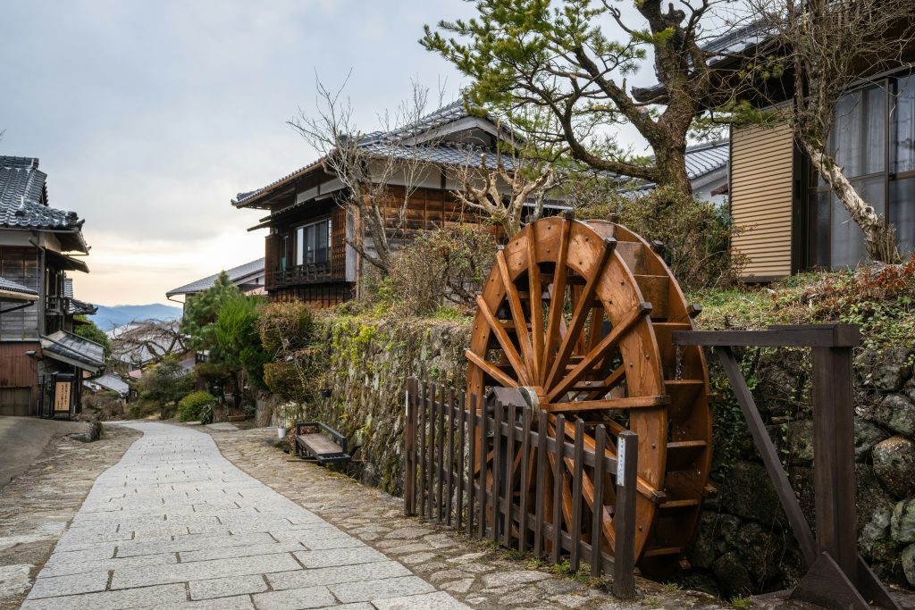
The Nakasendo Trail stands out as the premier scenic walk in Japan. It was once a vital path connecting Kyoto to Edo, now Tokyo. Today, it offers a serene journey through the Kiso Valley, where traditional architecture and forests are preserved.
Planning Your Post-Town Itinerary
The stretch between Magome and Tsumago is a favorite among hikers. It’s a day trip that highlights the region’s architectural beauty. Spend your morning in Magome’s stone streets before heading to Tsumago’s tranquility.
For a longer adventure, consider Narai-juku. Its main street, preserved from the 1800s, feels like a movie set. Walking between these towns allows for a leisurely pace, enjoying local treats and accommodations.
Luggage Forwarding Services
Carrying a heavy pack is unnecessary on these scenic walks. The local luggage forwarding service, known as “Takuhaibin,” is both reliable and efficient. Shops in Magome offer a service that sends your bags to Tsumago for a fee.
With this service, you can hike with a light daypack. It makes the mountain passes more enjoyable. Always confirm with your host if they use the forwarding network.
Seasonal Considerations for the Kiso Valley
Choosing the right time to visit is key. Spring offers cherry blossoms, while autumn displays vibrant leaves. These seasons provide the best weather for long walks.
Winter can be cold with snow, potentially closing mountain paths. Summer brings humidity and rain. Yet, the Kiso Valley remains a timeless link to history, regardless of the season.
Mount Aso: Exploring the Caldera
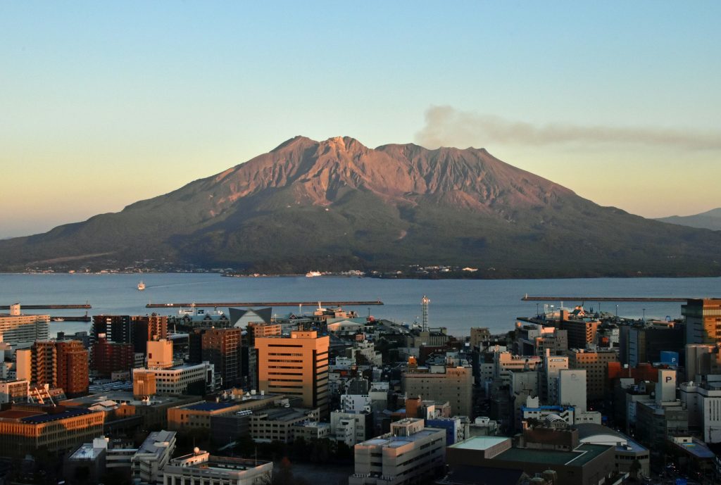
Exploring the volcanic heart of Kyushu offers unique and scenic walks in Japan. This massive caldera presents a surreal landscape, akin to a distant planet. It’s a sight that will leave both seasoned trekkers and casual nature enthusiasts breathless.
Safety Protocols for Volcanic Activity
Mount Aso’s active status means safety is your utmost concern. Always check the Japan Meteorological Agency website for the latest volcanic alert levels. These levels determine which trails are open and which are off-limits due to gas emissions or eruption risks.
Never disregard warning sirens or posted signs near the crater rim. If the alert level increases, authorities will close access roads and hiking paths immediately. Staying informed ensures your adventure remains both thrilling and safe.
Scenic Ridge Walks and Crater Views
The caldera’s rim offers incredible vantage points, revealing the rugged beauty of the region. You’ll enjoy panoramic views of the smoking Nakadake Crater, the park’s centerpiece. These trails are ideal for photographers seeking to capture the dramatic contrast between lush green slopes and dark volcanic rock.
Many of Japan’s best scenic walks are found along the outer rim. The paths are well-maintained, allowing easy traversal of the high ridges. Remember to bring a windbreaker, as the weather at these elevations can change quickly.
Local Transport and Access Tips
Reaching the caldera is straightforward with proper planning. Most travelers arrive by train at Aso Station, the primary gateway to the mountain. From there, frequent bus services run directly to the main crater area and various trailheads.
If you prefer more flexibility, renting a car is an excellent option for exploring the expansive caldera floor. Having your own vehicle allows you to visit remote viewpoints inaccessible by public transit. Just remember to drive carefully, as the mountain roads can be narrow and winding.
Yakushima Island: Ancient Cedar Forests
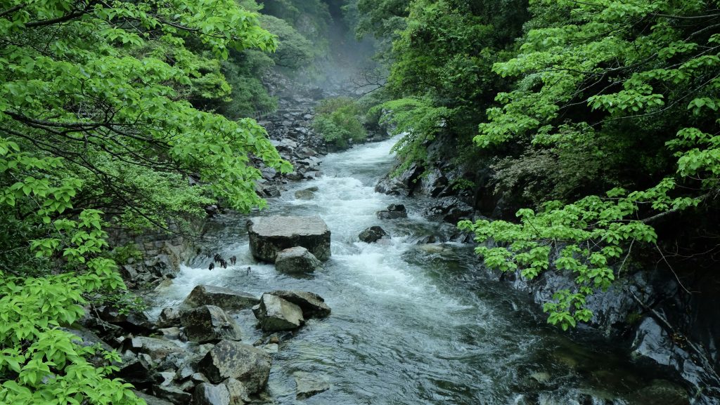
For those seeking a unique hiking experience in Japan, Yakushima’s mossy trails are unparalleled. This UNESCO-protected island is a mystical realm, with ancient cedar forests that seem straight out of a fantasy novel. Walking through these woods is a transformative journey for any outdoor enthusiast.
Navigating the Mossy Rainforests
The trails are renowned for their thick, vibrant moss that covers every root and stone. You’ll find yourself immersed in a lush, green canopy, untouched by modernity. It’s vital to stay on marked paths to preserve this delicate ecosystem as you explore the giant Yakusugi trees.
Rain Gear and Humidity Management
Yakushima’s high humidity and frequent rainfall keep the forest lush. High-quality, breathable rain gear is essential for comfort during your trek. Moisture-wicking base layers are also key to managing the damp conditions throughout your journey.
Ferry and Bus Logistics
Reaching this remote paradise requires some planning, but the journey is worth it. Most travelers take a high-speed ferry from Kagoshima to the island’s ports. Once there, the local bus system is the most reliable way to reach the trailheads for your hiking adventure.
Mount Takao: Accessible Nature Near Tokyo
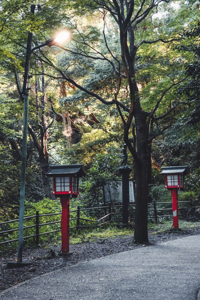
Mount Takao offers a refreshing escape from Tokyo’s urban sprawl, making it a top choice for hiking enthusiasts. Just under an hour from the city center, it combines lush forests, spiritual history, and breathtaking views. It’s perfect for those seeking Japanese wilderness without a long journey.
Choosing Your Ascent Route
The mountain boasts several trails for all fitness levels. Trail 1, the most popular, features paved sections and passes by Yakuo-in Temple. For a more rugged trek, Trail 6 follows a scenic stream through the forest.
The Inariyama Trail offers a steeper climb with stunning views. Each trail is well-marked, ensuring a smooth journey. These options make Mount Takao a favorite among hikers of all skill levels.
Timing Your Visit to Avoid Crowds
Mount Takao is a hotspot, with peak seasons being autumn and sunny weekends. Arriving before 8:00 AM on a weekday ensures a peaceful hike. This allows you to reach the summit before the crowds arrive.
For weekend visits, start your hike at sunrise. The trails will be quieter, and the air will be crisp. Avoiding peak hours enhances your connection with nature.
Combining Hikes with Local Hot Springs
No visit to Mount Takao is complete without a visit to the Keio Takaosan Onsen. Located at the mountain’s base, it offers indoor and outdoor baths with forest views. It’s the perfect spot to relax after your hike.
Soaking in the mineral-rich waters is a quintessential Japanese experience. It’s a great way to unwind before returning to Tokyo’s hustle. You’ll leave feeling refreshed and ready for your next adventure.
Mount Koya: Spiritual Forest Trails
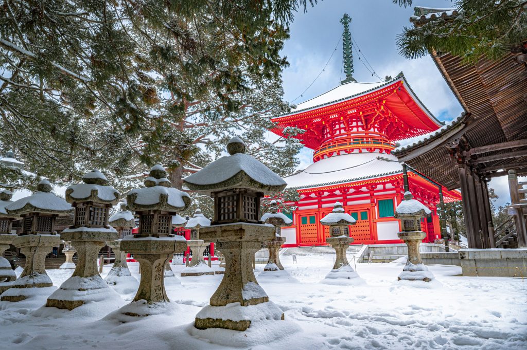
Mount Koya is a must-see hike in Japan, combining spiritual history with stunning natural beauty. It is the heart of Shingon Buddhism, a peaceful escape from city life. Walking through these ancient forests, you connect with Japan’s cultural heritage.
The Choishi Michi Pilgrimage Path
The Choishi Michi trail leads to the temple complex. It’s marked by stone pillars every 109 meters, guiding pilgrims for centuries. This path, lined with towering cedar trees, offers a serene atmosphere for reflection.
Temple Stay Logistics and Costs
Staying in a temple, or shukubo, is a highlight for many. Expect to pay $100 to $200 per night, which includes a traditional vegetarian meal. Booking several weeks in advance through official websites or travel platforms is recommended.
Respecting Sacred Sites
Exploring these trails means walking through active religious grounds. Keep your voice low and stay on marked paths to protect the forest floor. Showing respect for local customs and the monks preserves this landmark for future generations.
Tateyama Kurobe Alpine Route Hiking
This alpine route is a standout for outdoor enthusiasts in Japan. Dubbed the “Roof of Japan,” it traverses the Northern Japan Alps’ dramatic peaks. It’s ideal for those who crave high-altitude beauty without the need for technical climbing.
High-Altitude Trekking Tips
Trekking at high elevations demands careful preparation. The air is thinner, and weather can change quickly. Dress in layers to adapt to temperature shifts throughout the day. Even in summer, a windproof jacket and sturdy boots are essential for rocky terrain.
Drink plenty of water and take breaks to acclimate to the altitude. If you feel dizzy, descend to a lower elevation immediately. These precautions ensure your adventure remains safe and enjoyable.
Managing Transportation Costs
The route employs cable cars, trolley buses, and ropeways. Tickets can be pricey, so budgeting is key. Consider a regional rail pass to reduce travel expenses.
Booking tickets online can offer discounts or skip long queues. Traveling in groups can also split costs for transfers or luggage services. Smart planning makes these adventures more affordable for all.
Best Months for Snow Wall Views
The snow wall, Yuki-no-Otani, reaches up to 20 meters. The route opens in mid-April for the best snow wall views. Early spring offers the most dramatic visuals for your trip.
As spring turns to summer, the snow melts, revealing alpine meadows and wildflowers. For warmer hikes, visit between July and September. The scenery remains exceptional, regardless of the season.
Mount Kirishima: Volcanic Landscapes
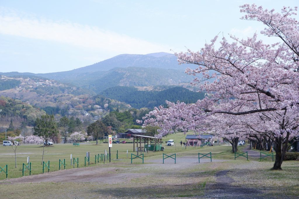
The Kirishima range in southern Kyushu is a hidden gem for outdoor enthusiasts. It boasts dramatic volcanic peaks and vibrant, emerald-colored crater lakes. This region offers a unique escape into nature’s raw power.
Hikers of all levels will find the Kirishima landscape awe-inspiring. It feels like stepping into another world. Whether you’re an experienced trekker or a casual nature enthusiast, the scenery is breathtaking.
Hiking Between Crater Lakes
The trails in Kirishima connect several stunning crater lakes, like Lake Onami. These paths offer moderate elevation gains, rewarding you with panoramic views of the caldera.
Walking between these crater lakes reveals the geological history of the region. Don’t forget your camera, as the contrast between the deep blue water and lush forest is breathtaking.
Accessing the Southern Kyushu Peaks
Reaching the remote peaks requires planning, but the journey is rewarding. Most start at Kirishima-Jingu Station, the main gateway to the mountains.
From the station, a local bus will take you to the main trailheads. It’s important to check the bus schedule in advance, as weekday service can be limited.
Weather Patterns and Visibility
Mountain weather in southern Kyushu can change quickly. Preparation is essential for a successful hike. High humidity and sudden cloud cover can obscure the views.
Always check the local mountain weather reports before heading out. If the forecast indicates heavy fog or high winds, consider a lower-altitude trail for better visibility and safety.
Oze National Park: Wetland Boardwalks
Oze National Park is a gem among outdoor adventures in Japan. It boasts vast, high-altitude marshlands, a world away from Tokyo’s hustle. The park invites visitors to explore its serene environment via an extensive network of elevated wooden paths.
Navigating the Marshland Trails
The park’s wooden boardwalks are iconic, protecting the ecosystem from foot traffic. These paths are flat and easy to follow, ideal for those who prefer a steady pace. The trails are well-marked, allowing you to enjoy the stunning mountain views.
It’s vital to practice good trail etiquette on the boardwalks. Always yield to hikers coming from the opposite direction and stay on the path. This preserves the wetland plants for future visitors.
Best Seasons for Alpine Flowers
Timing your visit is key to see the park’s vibrant blooms. The best time is from early June through July, when the marshlands are a colorful tapestry of white skunk cabbage and yellow daylilies.
For a different view, visit in autumn. The grasses turn gold, contrasting dramatically with the dark volcanic peaks. The changing seasons offer a unique backdrop for your outdoor adventures in Japan.
Overnight Hut Options
Planning a multi-day trip is recommended to fully experience the park. Several mountain huts offer cozy places to rest after a day of walking. They provide basic amenities like shared sleeping quarters and traditional meals.
Book your stay well in advance, more so during the peak summer blooming season. Most huts require reservations, so check availability online before heading out. Staying overnight allows you to witness the wetlands’ beauty at sunrise and sunset, a truly magical experience.
Safety and Emergency Protocols in Japanese Mountains
Exploring Japan’s breathtaking hiking trails requires more than just sturdy boots. The scenery is unmatched, but the terrain can be unpredictable. Understanding local safety protocols is essential to ensure your adventure remains a positive memory.
Registering Your Hiking Plan
In Japan, submitting a “Tozan Todoke,” or hiking plan, is standard before venturing into the wilderness. This document informs local authorities of your route and expected return time. You can find registration boxes at major trailheads or submit online through regional police websites.
If you don’t return by your scheduled time, this plan is critical for search and rescue teams. It narrows the search area, allowing responders to reach you faster. Always carry a copy of your submitted plan during your trek.
Essential Apps for Trail Navigation
Reliable navigation is essential in Japan’s diverse hiking trails. Apps like YAMAP and Yamareco are popular among locals, providing detailed offline maps. These tools help track your journey even without cellular service in deep valleys.
Download your maps before leaving your accommodation. It’s also wise to carry a physical map and compass as a backup. Technology is great, but batteries can quickly drain in cold mountain temperatures.
What to Do in Case of Injury
If injured on the trail, stay calm and assess your surroundings. If you have cell service, dial 110 for police or 119 for fire and ambulance. Clearly state your location, injury details, and party size.
If you can’t call for help, use a whistle or bright clothing to signal for assistance. Stay on the marked trail if possible, as rescuers will look there first. Never move if you suspect a serious injury, as it could worsen your condition.
Budgeting for Your Japanese Hiking Adventure
Embarking on a Japanese hiking adventure is an incredible experience that is surprisingly affordable with the right strategy. Japan, often seen as expensive, offers a unique way to keep costs low through its wilderness. By focusing on the best hiking destinations Japan provides, you can balance your love for nature with a sensible financial plan.
Estimating Daily Trail Costs
When calculating your daily budget, prioritize essential supplies like high-energy snacks, water, and proper gear. You can save significantly by purchasing food at local supermarkets or convenience stores before heading to the trailhead. Most mountain regions have affordable local eateries where you can enjoy a hearty meal for a fraction of the price found in major cities.
Transportation to remote areas often represents the largest portion of your daily spending. Researching local bus schedules and shared taxi options can help you avoid unnecessary expenses. Always keep a small amount of cash on hand, as many rural trailheads do not accept credit cards.
Saving Money on Mountain Huts
Mountain huts are a staple of the Japanese hiking experience and offer a cost-effective alternative to hotels. Many huts provide simple, clean bedding and communal meals, which helps you avoid the need to carry heavy camping equipment. Booking your stay in advance is essential, as it ensures the best rates, even during peak seasons.
Consider bringing your own sleeping bag liner to save on rental fees at some facilities. If you are looking for the most budget-friendly hiking destinations Japan has to offer, look for huts that allow self-catering. This simple choice can shave a significant amount off your total trip cost.
Value of Regional Rail Passes
Navigating the country is much cheaper when you utilize regional rail passes instead of buying individual tickets. These passes offer unlimited travel within specific areas, making them perfect for hikers moving between different mountain ranges. They are invaluable if you plan to visit multiple regions during a single trip.
Before you purchase a pass, map out your route to ensure it covers your primary transit lines. Many regional passes also include discounts on local buses and ferries, which are vital for reaching remote trailheads. Investing in the right pass early in your planning phase will maximize your budget and give you more freedom to explore.
Before you go: turn this guide into a day-by-day plan. Our partner Voyada is a free itinerary generator that builds the trip with flights, hotels and a real total cost for your dates — in about a minute.
Create an itinerary →Planning Your Japan Hike: Season, Gear, and Access
Japan’s mountains are world-class but have short seasons and real hazards. A little logistics planning keeps a hike safe and rewarding.
- The Alps season is short: high-mountain hiking runs roughly July to mid-October — mountain huts require booking and often cash only.
- Mount Fuji has an official climbing window (early July to early September) — don’t attempt it off-season without alpine experience and gear.
- The Kumano Kodo needs planning: book village lodging and luggage transfer ahead, as beds are limited along the pilgrimage route.
- Bears live in Honshu and Hokkaido mountains — carry a bell, make noise, and heed trail notices.
- Public transport reaches many trailheads (Mt Takao, the Kamikochi bus) — but early Alps buses fill fast in season.
The Complete List: More of Japan's Best Hikes
Beyond the headline peaks, Japan has world-class hiking in every region and for every level. Here’s a fuller list to plan around — by area, season and difficulty.
- Mount Fuji (Yamanashi/Shizuoka) — the iconic climb; official season early July–early September, 5–8 hours up, huts en route.
- Mount Takao (Tokyo) — the easiest big-view hike, under an hour from the city, with Mount Fuji views on clear days.
- Kamikochi & Yarigatake (Northern Alps) — the ‘Japanese Matterhorn’; a multi-day summer classic with mountain huts.
- The Daikiretto (Hotaka–Yari ridgeline) — Japan’s most notorious alpine traverse, with chains and ladders; experienced hikers only.
- Tateyama–Kurobe Alpine Route (Toyama) — high-mountain scenery and the famous spring snow corridor.
- Nakasendo Trail (Kiso Valley) — a historic samurai post-road; the easy Magome-to-Tsumago day walk is a highlight.
- Kumano Kodo (Wakayama) — the UNESCO pilgrimage; the Nakahechi route runs 4–5 days with village lodgings.
- Yakushima (Kyushu) — ancient, moss-draped cedar forest; the Jomon Sugi hike is otherworldly (and often wet).
- Daisetsuzan National Park (Hokkaido) — vast wilderness and Japan’s earliest autumn colours.
- Oze National Park (Gunma/Fukushima) — boardwalk wetland trails, famous for spring skunk cabbage.
- Mount Misen (Miyajima, Hiroshima) — an island summit above the floating torii gate.
- Mount Aso & Kirishima (Kyushu) — dramatic active-volcano landscapes (check access and gas warnings).
- Mount Kaimon (Kyushu) — the near-perfect cone nicknamed the ‘Satsuma Fuji’.
- Shosenkyo Gorge (Yamanashi) — waterfalls and superb autumn foliage on an easy trail.
- Mount Mitake & Okutama (Tokyo) — forested day hikes, shrines and river valleys within easy reach of the capital.
Conclusion
Japan boasts a wide range of landscapes, perfect for every outdoor lover. From Kyushu’s volcanic peaks to the Kii Peninsula’s ancient trails, the variety is unparalleled. Now, you’re ready to explore these stunning trails with confidence.
Preparation is key for a safe and successful mountain trip. By following safety guidelines and respecting local traditions, you help preserve the environment and support local communities. These hikes offer more than physical activity; they connect you deeply with nature and history.
Choose a destination that excites you and start planning. Use the Japan Rail Pass to save on transport costs. Book your mountain huts early to secure your spot on the most sought-after trails. Begin your Japanese mountain adventure today and witness the wonders of these peaks firsthand.
FAQ
Which of the top hiking trails japan offers is best for a mix of history and nature?
What should I pack for outdoor adventures japan in the variable mountain weather?
Are there scenic walks in japan suitable for travelers based in Tokyo?
What are the must-see hikes japan provides for those seeking a spiritual experience?
How do I manage logistics for the more remote hiking destinations japan like Yakushima?
When is the best time to experience the breathtaking trails japan features in the Northern Alps?
How do I stay safe while exploring the best hikes in japan involving active volcanoes?
John Dawson
Do you need a permit to climb Mount Fuji?
There is no permit in the traditional sense, but Fuji is now regulated. Climbers pay a compulsory trail fee, daily numbers are capped, and gates close overnight to stop people climbing straight through the night without a hut booking. Register online in advance where the prefecture requires it, and carry cash at the trailhead. The fee and the cap have changed several times in recent years, so check the official prefectural page before you travel.
Can you climb Mount Fuji in a day from Tokyo?
It is possible but hard. The ascent takes five to eight hours and the descent another three to five, so a same-day return means leaving Tokyo before dawn and finishing exhausted. Most climbers take the Fuji Excursion train or a direct bus to the Yoshida Trail fifth station, walk up through the afternoon, sleep in a mountain hut and summit for sunrise. Huts sell out months ahead for July and August weekends.
When is the best time of year for hiking in Japan?
Late June to October is the main window for the high mountains, and Mount Fuji itself opens only from early July to early September. Autumn koyo, the mountain leaf colour, peaks through October and November and is the finest walking of the year, arriving earliest in Hokkaido. Late spring suits lower routes such as the Nakasendo and the Kumano Kodo. Avoid the June rainy season and the early September typhoon window where you can.
How do mountain huts work on Japan's hiking trails?
Japanese mountain huts are staffed lodges with shared sleeping platforms, futons and two cooked meals, which is why you can walk the Alps without a tent or stove. Reserve well ahead, as huts on the popular ridges fill months in advance for summer weekends. Most take cash only, so carry enough yen for the whole traverse. Many offer a room-only rate if you would rather carry your own food, and lights-out is early.
How much does a day of hiking in Japan cost?
Staying in mountain huts runs roughly 8,000 to 15,000 yen a day including a bed and two meals. Camping where it is permitted drops that to around 3,000 to 5,000 yen once you add site fees and food. Skipping the hut meals saves roughly 3,000 to 4,000 yen a night. Transport is usually the biggest line: buy food at a supermarket before the trailhead and carry cash, as rural huts rarely take cards.
Which hikes in Japan are best for beginners?
Mount Takao is the gentlest introduction, with a paved main trail and an onsen at the base. The 8 kilometre Nakasendo walk between Magome and Tsumago is mostly forest path with tea houses along the way. Kamikochi’s valley floor loop from Kappa Bridge to Myojin Pond is flat and around 10 kilometres. Oze National Park’s boardwalks give a long day of walking with almost no climbing. All four need only day-hiking kit.
How many days do you need to walk the Kumano Kodo?
The Nakahechi route, the most popular of the pilgrimage paths, takes four to five days between villages, staying in family-run minshuku that charge roughly 10,000 to 15,000 yen a night with dinner and a packed lunch. With less time, the walk from Hosshinmon-oji down to Kumano Hongu Taisha covers the final stretch in a few hours. Book lodging months ahead for spring and autumn, as beds along the route are limited.
How do you get to Japanese trailheads without a car?
Most well-known trails are reachable by train and bus. Takao is under an hour from Shinjuku, Kamikochi runs on a dedicated bus from Matsumoto or Takayama, and Aso, Kirishima and Yakushima all have station or ferry connections with local buses onward. Rural services thin out midweek and the early Alps buses fill fast in season, so check timetables the night before and download offline maps, as signal in the valleys is patchy.
Is a rail pass worth it for a hiking trip in Japan?
Only if you are covering long distances between ranges. A regional pass such as the JR Kyushu or JR East options usually beats the nationwide version for hikers who concentrate on one area, and many include the local buses that reach trailheads. Map your route and add up the individual fares first. Note that the Tateyama Kurobe Alpine Route is not covered by standard passes and costs around 11,000 to 12,000 yen one way.
What should I do about bears when hiking in Japan?
Brown bears live in Hokkaido and black bears across much of Honshu, so making noise is the main defence. Carry a bear bell, talk on blind corners and avoid quiet trails at dawn and dusk. Check the visitor centre or trailhead notices for recent sightings before setting off, and never leave food scraps or cook near where you sleep. In Daisetsuzan, walk in a group and consider carrying bear spray.
Can you hike in Japan in winter?
Low trails yes, high mountains no, unless you have alpine experience and kit. The Kiso Valley and Mount Takao stay walkable with simple crampons for icy cobbles and boardwalks. Kamikochi closes from mid-November, the Alps huts shut for the season, and Mount Fuji outside its July to early September window is genuinely dangerous in wind and ice. For winter mountains, aim for ski resorts and snowshoe routes rather than summer trails.
Is Japan a good place to hike solo?
Yes, and plenty of Japanese hikers walk alone. Trails are well signed, huts are safe and sociable, and the real risks are terrain and weather rather than people. File a tozan todoke climbing plan at the trailhead box or through the Compass app, download YAMAP or Yamareco for offline maps, and carry a headlamp and whistle. Emergency numbers are 110 for police and 119 for ambulance, and huts often have radio links to rescue teams.